I happened to attend Gray Malin‘s book signing at Google’s Pop-Up store in New York City’s Flatiron district last week. He is a rising fine art photographer who is particularly known for pristine, bright aerial photos, and he was promoting his new book, Escape. Having this art event hosted at Google’s little shop might have seemed apropos, since many assume that his photos must have been made with the help of drones, or that they are digitally manipulated to the stunning brightness they display. But, this isn’t the case.
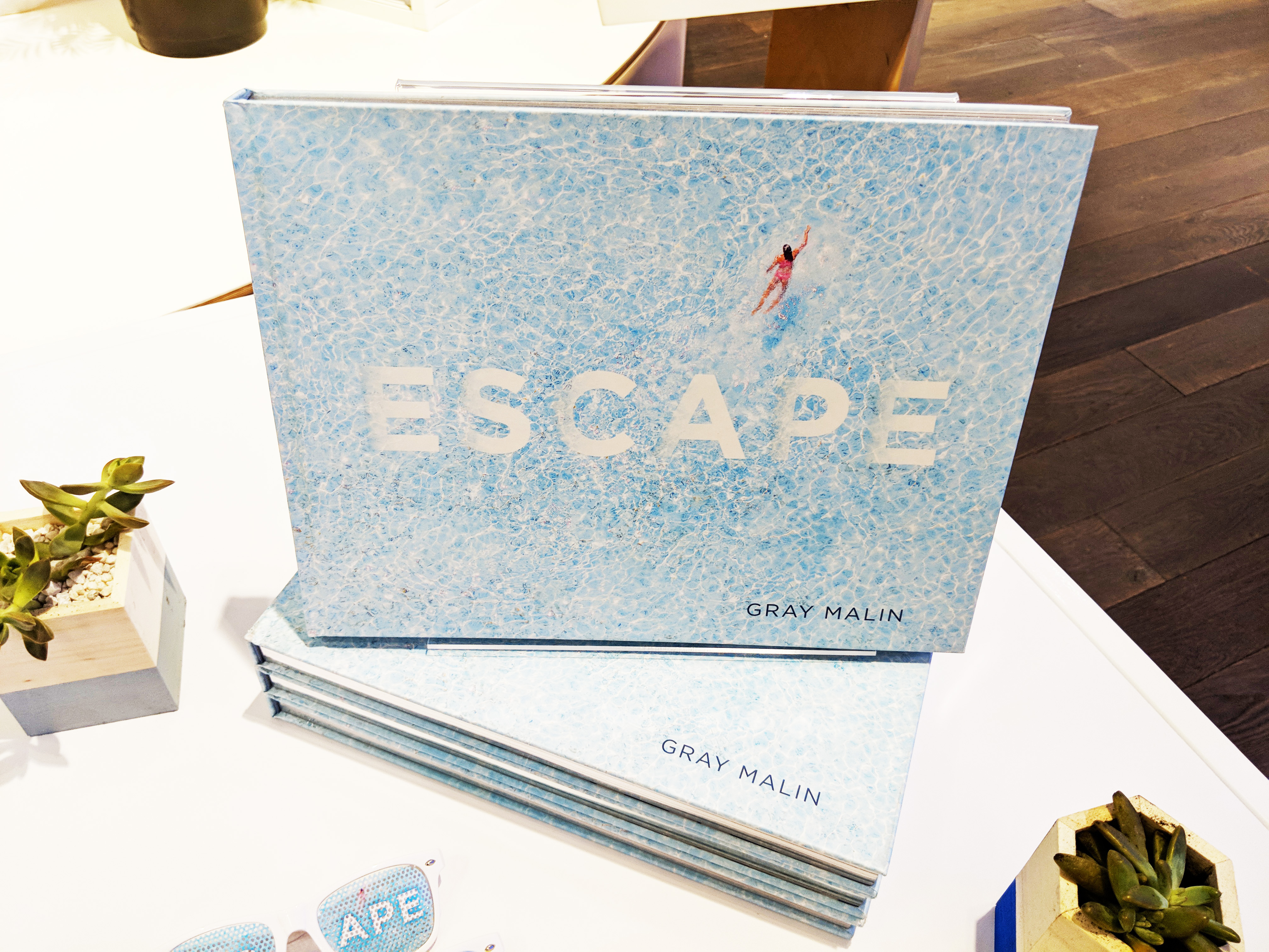
ESCAPE – book by Gray Malin
I was visiting Manhattan while attending the annual SMX East conference where I spoke on leveraging social media for the benefit for search engine rankings, and I also took the opportunity to check out Google’s trendy little popup store. As I describe in my article about the store, Google seems to be seeking to entertain visitors and to enchant them with their displays and demos at the location. For instance, one wall had a number of reproductions of famous pieces of art hung on it, and signs invited one to use the latest Pixel phone to identify them via invoking Google Assistant.
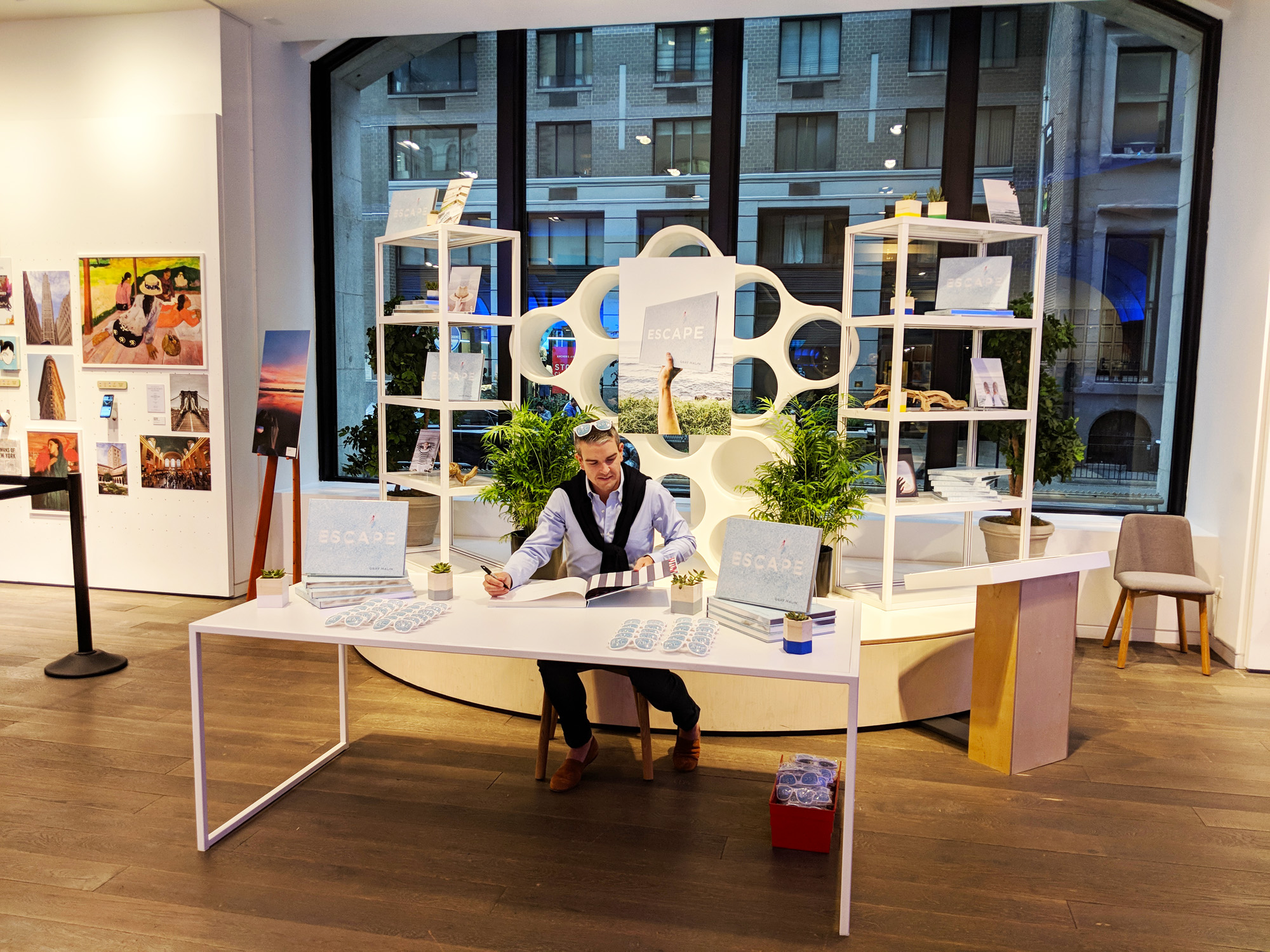
Malin Gray book signing, Google Popup Store, Flatiron District, New York
")