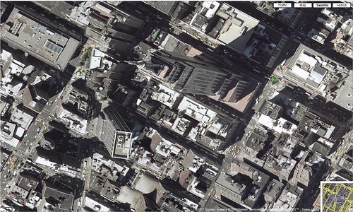
A recent quick review shows that Google Maps has cleaned up the “Escher Effect” seen in Satellite view. The Escher Effect is caused when two separate aerial or satellite pics are taken of different sections/plots of a city, and then stitched together to form a continuous composite picture. Each pic is taken from a different angle, so the taller building pictures are taken from different perspectives, causing them to appear to lean toward or away from each other.
The “Escher Effect” is named after the famous Dutch artist, M. C. Escher, who was particularly known for illustrations using optical illusions that often involved perspective and side effects from how perspective is perceived.
When Google Maps introduced satellite and aerial photos, there was a lot of the Escher Effect going on. (more…)

